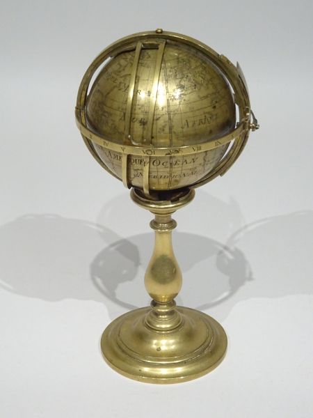
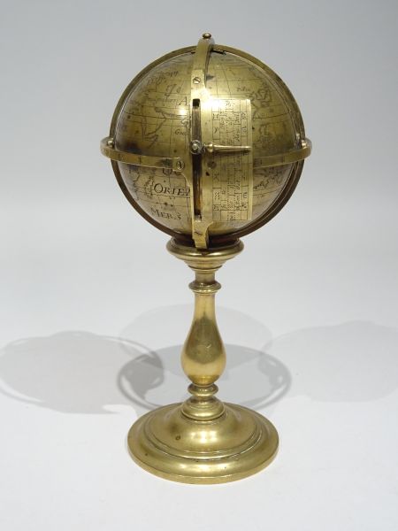
Navigator’s terrestrial globe unsigned but with cartography after Guillaume Delisle published in 1700 with a total of 27 locations, C.B.E. (Cape of Good Hope) and IdF (« Ile de Fer », origin meridian of the globe) and three references to the city of Berlin : « Perieciens de Berlin » (= under the same parallel as Berlin) - « Anteciens de Berlin » (= under the same meridian as Berlin) - « Antipodes de Berlin » (= diametrically opposed to Berlin).
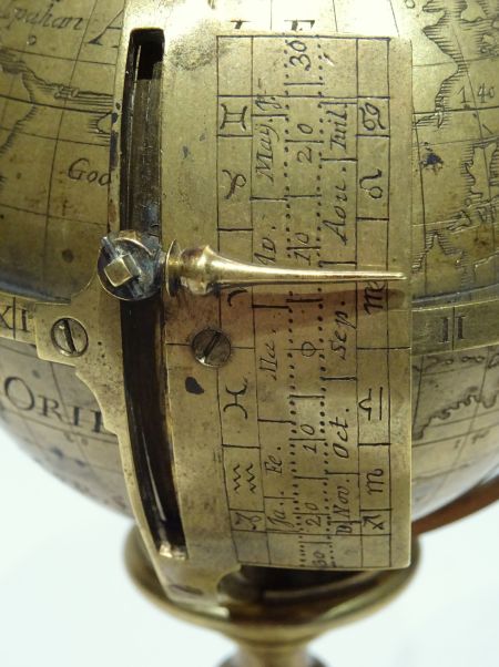
An index allows to make possible the evaluation of the duration, according to the seasons and the latitude, of the zone of penumbra just before and just after sunrise and sunset, that is to say the duration of the dawn and that of the dusk quasi anywhere on the Earth.
Condition : this precious globe was certainly originally preserved in a travelling case and the foot, later, has only be adapted for presentation purpose.
Reference : to our knowledge no reference to any similar globe of that period.
Literature : very little and not at the time it was made but later.
NB. : Son of Claude Delisle himself cartographer and Cassini’s pupil, Guillaume Delisle (1675/1726) was a geographer and cartographer in Paris. He published in 1700 « la carte du monde » and « la carte des continents » who largely contributed to his reputation. He teaches geography to the young Louis XV and, in return, received the title of « royal geographer ».
Dimensions : 8 cm / 9,3 cm diameter.
France c. 1705.
SOLD TO AN INTERNATIONAL MUSEUM
Also discover many more antique globes and armillary spheres in the dedicated section of our French website : « Globes et sphères armillaires ».


